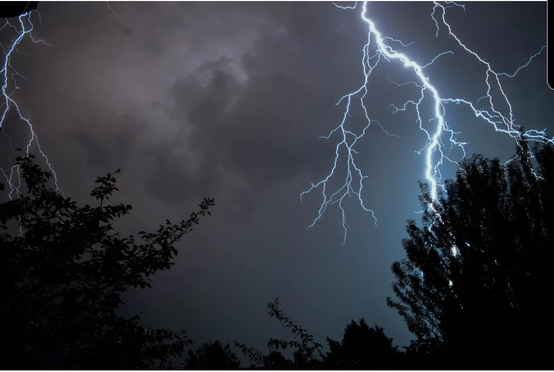
By Joel Christopherson; used with permission
There’s a lot of scary stuff going around regarding the weather for tomorrow, so I thought I’d post something about it.
While there are storms forecasted tomorrow, this is not a doomsday scenario. We have about 10 days like this every Spring… this is unusual for this time of year, but it is not an unusual threat in and of itself. Take the weather seriously, but don’t worry yourself to death.
Beginning tomorrow afternoon ahead of the cold front some storms are possible, and some of those storms could be severe. The ability for storms to actually form in the warm sector (east/south of the cold front) remains in question. If they do form, they’ll have the potential to be strong to severe, with all modes of severe weather (hail, wind, tornadoes) possible. Generally, areas that are at risk for those storms are roughly DFW to East Texas. Of course, it’s something you should be aware of so you can pay attention to the weather.
Later in the day, the cold front should be a catalyst for a line of strong to severe storms to form and push through north Texas. Strong winds will be the main threat, but a tornado or two will be possible as well, especially in areas that bow out in the line. The biggest “threat” will be heavy rainfall – well above average precipitable water values means any storm that forms will be capable of producing very heavy rain… thus, conditions are ripe for flash flooding. Don’t drive into flood waters!
As the day progresses into the evening, the threats will shift to the eastern parts of Texas. Once the squall line clears your area, severe weather is very unlikely to continue.
Again, this is by no means a doomsday scenario. Anyone who is telling you to be scared or that this will be worst-case situation is not being honest with you – they’re simply sharing hype.
Plan on watching the weather closely tomorrow. Be prepared to take decisive action if severe weather threatens. Otherwise, go about your day in peace.


